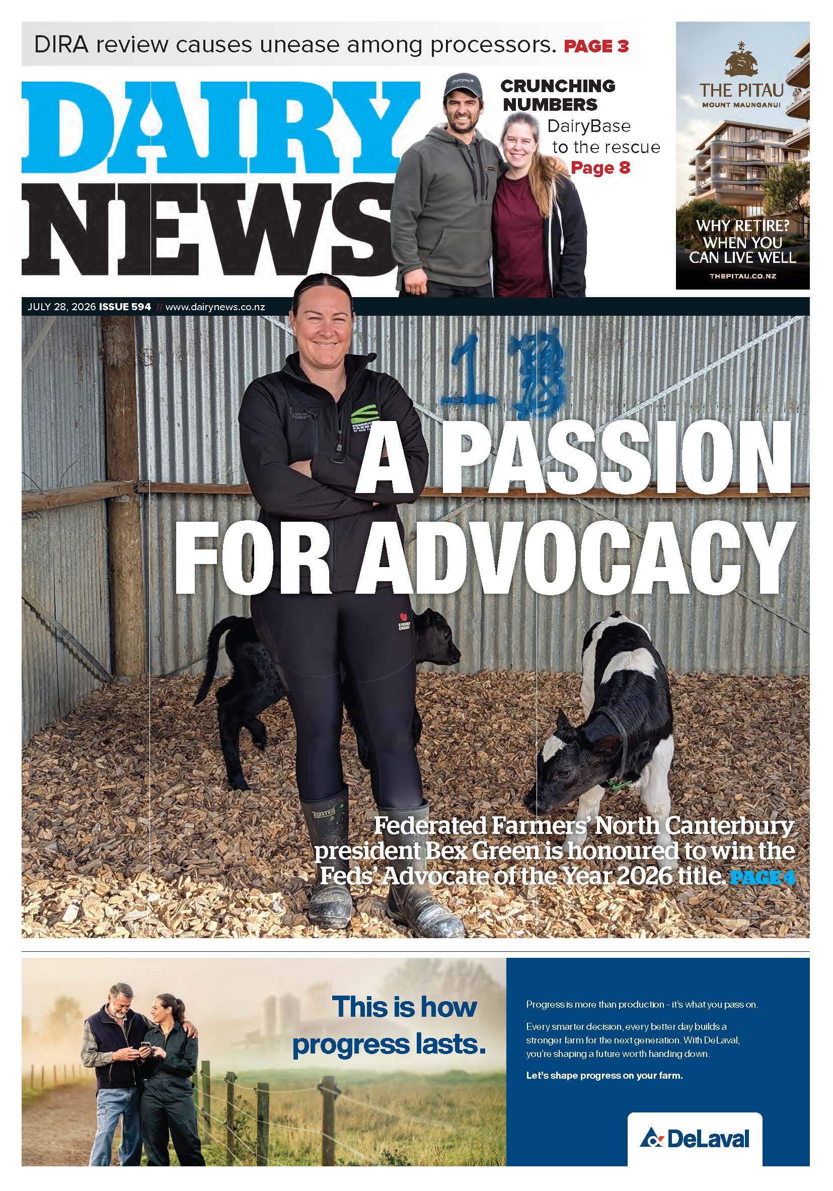
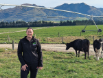
Wairarapa’s Bradley Wadsworth blends farming and technology
Bradley Wadsworth lives on the family farm – Omega Station – in the Wairarapa about 30 minutes’ drive east from Masterton.


 increase font size
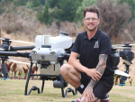
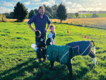
 A drone photo shows how easy it is to capture images of pasture usage.
Don't wait for the technology to be proven – the age of the farming drone is here now, say two South Canterbury dairy farmers already using off-the-shelf drones in their weekly farm management.
“There’s a misconception that to use a drone effectively you must be a whizz-kid with flash cameras,” says Alastair Tremewan, “Rather, having an eye in the sky in itself, without any technical wizardry, can provide an enormous benefit.”
Tremewan, who runs a family farm near Geraldine, and near neighbour Nick Hoogeveen, general manager and part-owner of the Kintore Farms group, are both enthusiastic users of standard Phantom drones. The Phantom is an off-the-shelf model made by the Chinese company DJI, regarded as a market leader in small drone technology.
Tremewan says he got into drone use because he “loves technology”. Before returning to the family farm he had spent time in various technology-related ventures including online retail. When he saw how Hoogeveen was already using a drone on his properties he bought his own. He has since started a public Facebook page called Drones on farm NZ to promote and discuss drone usage.
Research is continuing into aerial measurement of pasture nutrient levels by a partnership of Ravensdown, Massey University’s precision agriculture group, and AgResearch, funded by the Primary Growth Partnership and led by Massey’s professor in precision agriculture, Ian Yule. The use of sophisticated hyper-spectrum cameras is central to that research.
However, Hoogeveen says he did not want to wait for more sophisticated applications to be developed. “I’m a farmer so I don’t have time for that.”
For Hoogeveen and Tremewan the primary use is visible-spectrum aerial mapping of pastures to GPS-level precision.
Using software from the American firm DroneDeploy, a drone can be set to autonomously run a grid over a given area, taking a series of vertical photographs that are then automatically stitched together into a single map.
“To survey one of my farms, which is about 238ha, takes me roughly 40 minutes with three battery changes. So that gives me a snapshot in time of what my farm is like at that point,” says Hoogeveen. The result is “like a fully up-to-date version of Google Earth”.
He was using it to confirm his spring rotation planning, checking that stock was grazing to target amounts.
“Over the winter we were using it to do a survey of the run-off block then we could draw on it with GPS precision where the crops had been grazed so we can see what area of crop we have left and how much we had used in the previous week,” says Hoogeveen.
Tremewan says it had allowed him to bring his maps of the farm up-to-date after decades of unmapped small changes. He had used it to plan and implement changes to the paddock fencing layout.
“I mapped over that area and was able to re-plot the size of the paddocks before we ever did anything and make sure it was all in line and that our paddock sizes would be the same.
“Once you’ve made the photo you can draw out the border and it will tell you accurately the square metreage.”
While standard drone cameras are great for mapping, assessing crop density in terms of kilograms of dry matter theoretically requires expensive aftermarket infrared cameras.
However, stock cameras have enough residual sensitivity at the red end of the spectrum to do what Tremewan calls “mock NIR (near infra-red) imagery” by fitting the lens with a filter to block out the rest of the visible spectrum.
“It’s not the most accurate thing in the world; if I was a crop farmer I wouldn’t rely 100% on it but it uses the little bit of near infra-red spectrum that’s on the camera as standard. I’ve used that overlay to show us where the cows have had too much pressure on the ground – areas where we might be looking at re-seeding, something like that,” says Tremewan.
“It’ll come up a different colour from the rest, where the grass isn’t growing, basically.”
Tremewan was also using his drone to monitor fodder beet crops over winter.
“As the cows slowly graze away the fodder beet you can run a scan over the top of the paddocks then go to your computer and drag the measurements out and work out exactly how much is left.”
Simple aerial photos taken weekly also allow him to keep track of silage and baleage stocks.
“It’s a good tool overall, even without a fancy camera, just to take photos of the paddock conditions so when we make re-grassing decisions or generally discuss the highs and lows of different paddocks, we’ve got something there to look at,” he says.
Bradley Wadsworth lives on the family farm – Omega Station – in the Wairarapa about 30 minutes’ drive east from Masterton.

Virtual fencing company Halter is going global but for founder Craig Piggott, New Zealand farmers will always remain their main partners.
Felton Road Wines is using an electric drone sprayer to apply organic fungicides and monitor crops, cutting emissions and transforming management.
Use of agricultural drones by contractors in New Zealand is soaring.
OPINION: New technologies can promise the world but how do we know if they are delivering?
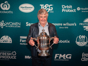
Potatoes New Zealand has congratulated Peter Reynolds of TA Reynolds Ltd in Pukekohe on being awarded the Horticulture New Zealand Bledisloe Cup, recognising a lifetime of service and contribution to New Zealand horticulture.
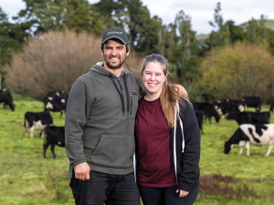
Signing up to a benchmarking tool is not about competition, but about improving collectively, says Ximena Puig and Alvaro Luzardo who are 50-50 sharemilkers at a 164-hectare (effective) dairy farm in Eketāhuna in the Lower North Island.
A leading British farming politician says he's impressed with the positive attitude of New Zealand farmers that he met during his recent trip here.
OPINION: With 10,500 dairy farms, New Zealand continues to punch above its weight around the world.
The Southern Dairy Hub (SDH), which runs a demonstration farm for South Island farmers, has a new general manager.
Esther Guy-Meakin has been announced as the new chief executive of the New Zealand Meat Board (NZMB).

OPINION: The Irish dairy sector is facing a new dilemma - maintaining year-round fresh milk supplies.
OPINION: Could beef cows play an increasingly important role in improving profitability and resilience on hill country farms?
![]()