Wednesday, 22 January 2020 09:41

Hawkes Bay launches aerial water mapping

Written by  Staff Reporters
Watching the helicopter carrying SkyTEM take off yesterday at the launch. Watching the helicopter carrying SkyTEM take off yesterday at the launch.

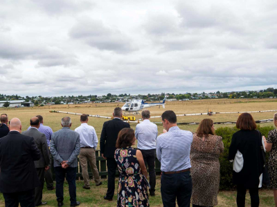
Hawke’s Bay Regional Council has launched a 3D water mapping project to better understand the region’s freshwater supply.

As part of the project, a helicopter towing airborne electromagnetic survey technology called SkyTEM is flying over the region’s aquifers for the next six weeks.

The technology is able to scan the aquifers down to 300 metres, further than what has been seen before.

The data provided by the survey will enable HBRC to build a 3D digital picture of the aquifers horizontally and to great depths, enabling a better understanding of groundwater resources.

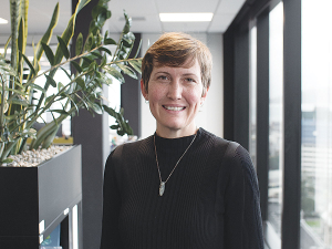
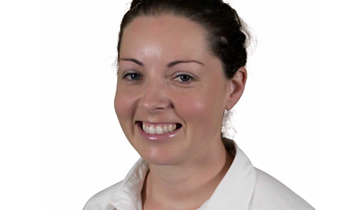
IrrigationNZ has congratulated the HBRC and its partners on the launch: chief executive Elizabeth Soal says the project is a breakthrough. 

“We urgently need more facts about what water we have and where,” says Soal.

IrrigationNZ chief executive Elizabeth Soal has praised the project.

“This can inform a sensible water strategy to guide sustainable water management in New Zealand.

“We’re often seeing headlines about shortages in our dry regions which rely on water for their communities, their recreation, and their livelihoods. 

“If this initiative by Hawkes Bay Regional Council is successful, we can repeat this elsewhere to get a nationwide water map to understand more about this critical resource. And then we can act on what we know.”

The project is a collaboration between the HBRC, the Provincial Growth Fund (PGF) and GNS Science, using Danish SkyTEM technology that has been used extensively overseas.

The total cost for the project is $4.3 million. The PGF is contributing $2.15 million, the HBRC $1.85 million, and GNS Science $300,000.

More like this

Haere Ra 2024: Te Matau-a-Māui, Hawke's Bay

Kate Radburnd has seen plenty of challenges in the Hawke's Bay wine industry during her 41-year wine career, including the destruction wrought by Cyclone Gabrielle in vintage 2023, and the resilience and recovery of the region in its wake.

Scanning data at your fingertips

A partnership between two technology companies in Hawke's Bay is making orchard data more easily accessible to growers using new interactive online heat maps.

Featured

All eyes on NZ milk supply

All eyes are on milk production in New Zealand and its impact on global dairy prices in the coming months.

National

Machinery & Products

Tech might take time

Agritech Unleashed – a one-day event held recently at Mystery Creek, near Hamilton – focused on technology as an ‘enabler’…

John Deere acquires GUSS Automation

John Deere has announced the full acquisition of GUSS Automation, LLC, a globally recognised leader in supervised high-value crop autonomy,…

Fencing excellence celebrated

The Fencing Contractors Association of New Zealand (FCANZ) celebrated the best of the best at the 2025 Fencing Industry Awards,…

» Latest Print Issues Online

The Hound

A step too far

OPINION: For years, the ironically named Dr Mike Joy has used his position at Victoria University to wage an activist-style…

Save us from SAFE

OPINION: A mate of yours truly has had an absolute gutsful of the activist group SAFE.

» Connect with Rural News

» eNewsletter

Subscribe to our weekly newsletter