La Niña weakened earlier this year, but never got knocked to the canvas.
This phase has remained with us throughout winter and there are continuing signs that it may continue into summer 2022-23. It is likely that the long-range forecasts for spring 2022 are going to be quite similar to spring 2021. The Souther Oscillation Index (SOI) is not the only climate driver that appears to be a bit stuck.
Sea surface temperatures continue to remain above normal, and the SOI remains in a positive phase. This generally reduces the frequency of the traditional westerlies that often buffet the country during spring.
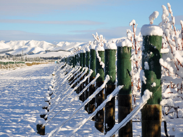
Low pressure can bring wild extremes
Recent weather events through winter have shown us how wild our weather can be when large amounts of warm and cold air are mixed. In North America this mixing goes to the extreme as very cold air moves south out of the Arctic and stays cold as it moves southwards across the continental plain. Warmer air from the Gulf of Mexico moves north and when these airmasses converge we see the incredible supercell thunderstorms and massive tornadoes that can headline the news.
In our part of this world this convergence is not as extreme, but it still occurs. In May, a series of active fronts brought severe thunderstorms and tornadoes to much of the west coast of the North Island and heavy rain events have peppered many regions over the past few months. La Niña makes these scenarios more likely, however warmer than average sea temperatures are also contributing due to the increased amount of moisture available.
When colder air is dragged northwards into the mix, the scene is set for a very turbulent time. Mild, humid air has been brought down to us out of the tropics and meets colder air from the Southern Ocean and New Zealand sits right on the boundary where this battle between warm and cold takes place. With very little sign of change over the next six to nine months it is likely that these events may continue into 2023.
Outlook for August and September
Gisborne/Hawke's Bay
Temperatures are likely to remain above average for early spring. Sea temperatures remain quite mild, so even with an increased northeast flow the mean temperature is likely to be above normal. We are still going to see periods of the spring north westerlies giving a bit of a windy blast, however these may be fewer than average. The continued northeast flow keeps the rainfall probability near average, with a reasonable chance of above average rainfall. The chances of frost are lower than average due to higher mean temperatures and the onshore northeast flow dominating. This may bring higher than normal humidity at times. There will still be a risk of frost due to high pressure moving in behind any cold changes and the longer nights of early spring.
Wairarapa
Similar to Hawke’s Bay with onshore northeasterlies at times, the effects of these winds may be reduced thanks to local topography, however there is still a risk of rain events throughout spring. The north westerlies that usually dominate spring will still appear from time to time, but the frequency is likely to be lower than average. The risk of frost is a little lower than average but cold nights are still possible under a light northeast flow.
Nelson
A warmer than average start to spring is expected in Nelson. Mild north to northeast flows should keep overnight temperatures milder close to the coast. Rainfall is likely to be near average with an increased risk of a heavy rain event during early spring. The risk of frost remains below average in line with the North Island regions.
Marlborough/North Canterbury
With a northeast flow we see more moisture pushed onshore and this can slow the rate of cooling overnight. Daytime temperatures remain above average and night-time minimums are likely to be close to average. The effects of the northeast flow and low pressure systems moving south start to become less frequent and while there is an increased risk of a heavy rain event, we can also see high pressure moving over the lower South Island and giving periods of settled weather. The risk of frost is lower than average as we move further into spring, but there is still a reasonable risk of frost through early spring, especially about inland valleys and areas away from the coast.
Central Otago
While low pressure dominates the north, there is a chance that high pressure may bring more settled conditions to the lower South Island through early spring. Cold air may be dragged northwards from time to time, so there is still a risk of the occasional cold spell and more settled conditions may lead to a frequency of frost that is closer to average. Day time temperatures are likely to warm quickly and are expected to be above average. It is possible that there is quite a large range between daily minimum and maximum temperatures. Rainfall is likely to be close to average, but some areas may start to drop below average if high pressure is allowed to dominate.
James Morrison runs Weatherstation Frost Forecasting Ltd – weatherstation.net.nz