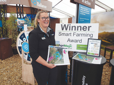
Ballance Agri Nutrients’ farm environment planning tool MitAgator last month won the Smart Farming Award at the South Island Agricultural Field Days at Kirwee.
Developed jointly by Ballance and AgResearch, it helps farmers navigate issues in water quality and comply with the tighter environmental rules imposed by regional councils.
MitAgator helps farmers with environmental planning and the costing of planned changes, and enables them to put all this into practice without without losing focus on productivity and profit.
It is based on a detailed farm map, and has software that gives an overview of the four main contributors to poor water quality -- nitrogen and phosphorous leaching, sediments and increasing E-coli contamination.
It integrates data from the farm’s OverSeer nutrient budget, then creates a ‘view from space’ showing where these problems are occurring, so identifying critical source areas (CSAs) around the farm. These are superimposed on the farm map using a colour legend to indicate risk areas.
With the CSAs identified, the MitAgator system can compare the effectiveness and costs of various mitigation scenarios, allowing the landowner to confidently chose the best option for the farm budget.
The programme is prepopulated with 24 different scenarios designed and peer reviewed by industry specialists. These include stream fencing, riparian planting, manufactured wetlands, grass buffer strips or feed pads. Some scenarios are tailored to dairy, drystock or deer but most suit a wide range of farming systems.
After identifying and validating a farm’s best possible mitigation scenario, Ballance’s farm sustainability service will integrate the risk maps and mitigation scenarios with a farm environmental plan so that the farm complies as necessary.